Map Feature
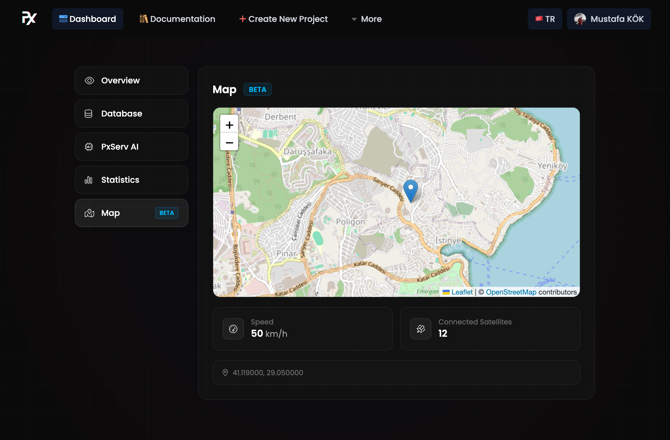
- Purpose: show device locations and basic telemetry (speed, connected satellites).
- Location: Map panel in the project dashboard.
Required data keys
The Map panel reads the latest value for each of these keys from the project database:
map/lat— latitude (decimal degrees)map/long— longitude (decimal degrees)map/speed— speed in km/h (optional)map/connectedsats— number of connected satellites (optional)
Note: all values must be sent and stored as strings (for example: "40.712776"). The UI queries these keys and shows a warning if required keys are missing.
UI design
Example publishes
Values must be strings. Example payloads:
- HTTP REST API (single key):
curl -s -X POST https://api.pxserv.net/database/setData \
  -H "Content-Type: application/json" -H "apikey: YOUR_KEY" \
  -d '{"key":"map/lat","value":"40.712776"}'
Details: See the REST API Data Saving page for full HTTP API details: Data Saving
Short examples (official libraries)
- Arduino (PxServ library):
PxServ client("YOUR_API_KEY");
client.setData("map/lat", "40.712776");
Details: See the Arduino Library for usage and configuration: Arduino Library
- JavaScript / TypeScript (pxserv):
await pxServ.setData("map/long", "-74.005974");Details: See the JavaScript / TypeScript Library for examples and SDK details: JavaScript / TypeScript Library
- Rust (
pxservcrate):
let resp = client.setdata("map/speed", "12.5");Details: See the Rust Library for crate usage: Rust Library
Tips
- Choose an appropriate update frequency for moving devices (for example, 5–30 s).
- Reduce jitter by filtering or averaging noisy GPS data.
- If privacy is a concern, reduce precision or send updates less frequently when the device is stationary.
Troubleshooting
- If the interface shows “Waiting for coordinates…”, verify that
map/latandmap/longare being sent to and stored in the database. - If a yellow warning appears, ensure the required keys have been published at least once.
Last updated